Introduction
Geospatial Data Analysis has made a significant impact in a time when Data Analytics is a major factor in determining strategies and decisions in many different industries. Through the management, investigation, and visualization of Spatial Data using Geographic Information Systems (GIS), this specialized type of analysis offers insights not possible with traditional Data Analytics methods. Geospatial Data Analysis provides a distinctive lens through which spatial correlations and patterns can be comprehended and utilized for decision-making by incorporating location information into Data Analytics.
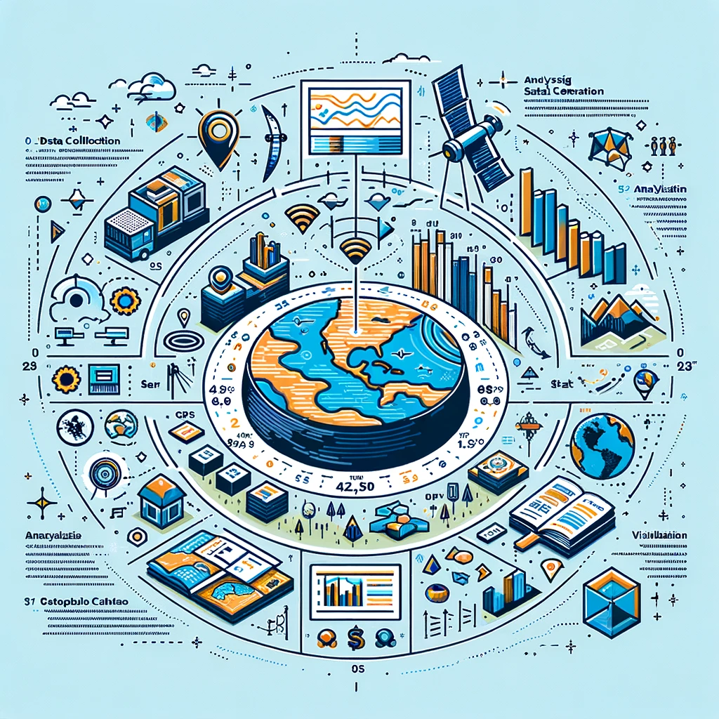
Understanding the geographic element present in data is the cornerstone of Geospatial Data Analysis. This research uses location-based tools, such as Environmental Mapping, GPS Data, and Satellite Imagery, to contextualize complex situations. The uses of Geographic Data Analysis are numerous and vital, ranging from public health and environmental conservation to urban planning and disaster relief.
Using Spatial Analysis techniques is essential to the process because it allows analysts to examine Spatial Data and find patterns, correlations, and trends. For example, the construction of maps and models that can show the spread of illnesses across geographic regions or temporal changes in land use can be facilitated by the use of Data Visualization and Cartography capabilities in GIS systems. In a similar vein, data from Remote Sensing technology is essential for studying changes in the environment, the growth of agriculture, and urban planning.
The merging of spatial context with analytical rigor is marked by the integration of Geospatial Data Analysis and Data Analytics. This combination expands the range of insights that can be gained while also improving the depth of analysis. Geospatial Data Analysis plays an increasingly important role in comprehending the massive volumes of Spatial Data that we continue to collect. It serves as evidence of how the location dimension can deepen our comprehension of data and lead to better-informed, efficient, and spatially aware decisions across a wide range of industries.

What is Geospatial Data?
Data related to a particular location or geographic area on the surface of the Earth is referred to as geospatial data, sometimes known as spatial data or geographic information. Urban planning, environmental management, public health, and many other businesses depend heavily on this kind of data, essential to geospatial data analysis. Every resource and format of geographic data offers a different viewpoint on the physical environment and human activity in it.
Types of Geospatial Data
- Coordinates: The simplest type of geospatial data, coordinates recognize a location on the surface of the Earth by providing its latitude and longitude. They can identify a wide area as well as a particular address or spot.
- Vector Data uses points, lines, and polygons to depict geographic characteristics like borders, rivers, and highways. Mapping and comprehending the connections between various geographic entities need the use of vector data.
- Raster Data: Typically used to depict continuous phenomena like elevation (in digital elevation models), land cover, or temperature gradients, raster data is composed of pixels or cells. Raster data is often represented by satellite imagery and aerial photos.
- Attribute Data: Although not spatial in and of itself, attribute data offers details on geographical aspects and is frequently connected to vector data. As an illustration, attribute data on GDP, population, and climate may be included in a database of cities (vector data).
Sources of Geographic Information
- Satellite Imagery is the careful and comprehensive representation of the Earth’s surface that satellites provide, offering crucial information for land use planning, environmental monitoring, and disaster relief.
- GPS (Global Positioning System): GPS instruments gather positional information for mapping, tracking, and navigation. Smartphones, cars, and specialized surveying equipment are all equipped with this technology.
- Environmental Sensors: Sensors placed in different surroundings can track temperature, the quality of the air and water, and other parameters. These sensors may also record geographical data, which is vital for environmental science and public health.
- Social Media and Mobile Devices: On a broad scale, geotagged posts and images from social media platforms and data from mobile devices can provide insights into human behavior and movements.
- Government and Public Records: Geospatial data, such as census information, property records, and environmental datasets, are made available by several government bodies and are very helpful for planning and study reasons.
The Value of Geographical Information The significance of geographic data is in its capacity to give analyses and decision-making procedures context and a geographical component. Analysts can identify patterns, trends, and linkages in data that are hidden in non-spatial data by comprehending the “where” component of the data. This skill is necessary for a wide range of tasks, including operations optimization, decision-making, and addressing complicated challenges.
The possibilities for creativity and understanding in a variety of sectors, from urban planning to climate research, are enormous as geospatial data collection, processing, and analysis technologies continue to progress. Using this data, geospatial data analysis builds a more educated, sustainable, and connected society.
The Power of Geospatial Analysis
Massive amounts of geographical data can be sorted through, and the resulting insights may be used with remarkable ease. This is where geographic analysis shines. Given that using data to make decisions is the standard in today’s environment, it has become an invaluable tool. We can better understand how spatial linkages, patterns, and trends affect everything around us, including societal dynamics, the environment, and even the economy, because of the amazing work that geospatial data analysis performs.
Geospatial information systems (GIS), remote sensing, spatial data visualization, and data analytics are some of the most cutting-edge technologies and techniques that are now in use. With the help of these expanded tools, we can look beyond maps and data points and detect the unknown stories that our planet is trying to tell us.
Optimal Decision-Making
Geographic analysis’s ability to support strategic and well-informed decision-making is one of its main advantages. Organizations and political entities can operate more efficiently, allocate resources more precisely, and handle catastrophes more skillfully by incorporating location intelligence into their decision-making frameworks. For example, using geospatial data analysis is quite helpful in the field of urban planning.
The process assists in determining the best sites for infrastructure development by examining many aspects such as accessibility, land use, and population density. This all-encompassing strategy guarantees that choices are made with the community’s unique requirements and difficulties in mind, in addition to being well-informed by a thorough comprehension of geographic data.
Observation and Preservation of the Environment
To monitor the environment and promote conservation, geographic analysis is essential. It makes it possible to monitor how environmental changes—like urbanization, deforestation, and the effects of climate change—develop over time. Conservationists can monitor biodiversity, evaluate ecosystem health, and carry out conservation policies more successfully by analyzing satellite imagery and environmental sensors.
Response and Management for Disasters In disaster management, timely geospatial data analysis and visualization are critical to reducing financial losses and preserving lives. Geospatial data analysis permits the mapping of areas vulnerable to natural disasters, the tracking of storms and floods in real time, and the optimization of emergency response procedures.
Using this technique, responders can precisely estimate the geographic breadth of disasters, allowing them to concentrate resources and aid on the most strictly impacted areas. Emergency teams can improve their abilities to protect communities and lessen the negative effects of disasters by implementing more effective techniques for relief distribution and disaster prevention by utilizing this increased understanding of susceptible zones and catastrophe dynamics.
Views on Public Health By monitoring the transmission of diseases and locating possible hotspots, geographic analysis is also essential to public health. Examining the spatial arrangement of health data facilitates the implementation of focused interventions, real-time outbreak surveillance, and program and policy evaluation by public health professionals.
Developments in Technology
Predictive analytics and automated decision-making systems are reaching new heights with the combination of AI and machine learning with geospatial data analysis. Deeper insights into urban growth, environmental changes, and social dynamics are provided by these technologies, which improve the capacity to evaluate intricate spatial patterns and forecast future trends.
Wide-ranging Use in All Industries
Numerous industries employ geographic analysis, including telecommunications, transportation, and agriculture. In the former case, geospatial data analysis is applied for network planning, transportation, and route optimization. In every situation, having the capacity to evaluate spatial data gives an advantage over competitors, allowing for more strategic planning and improved results.
The ability to map and visualize data is only one aspect of geospatial data analysis’s strength; another is its ability to highlight the underlying spatial relationships that shape our reality. The insights gained from geospatial data analysis will be more and more important in tackling today’s complex issues, promoting sustainable development, and raising living standards everywhere as long as we continue to produce and gather enormous volumes of geospatial data. More integration of geographical data into everyday decision-making is anticipated in the future of geospatial data analysis, ushering in a new era of spatially informed insights and actions.
Key applications of geospatial data analysis include

1. Infrastructure Development and Urban Planning:
The best possible architecture and development of urban infrastructure depend heavily on the analysis of geographic data. Planners can decide where to build roads, buildings, and utilities to enhance resilience and sustainable growth by utilizing spatial data and Geographic Information Systems (GIS).
2. Ecosystem Health, Land Use, and Deforestation Rates
These are just a few of the environmental changes that may be monitored and conserved with the help of this application, which uses Geographic Data Analysis. Actual resource management and biodiversity conservation are made possible by GIS technology.
3. Emergency Response and Management:
Geospatial data analysis is a crucial tool for following natural catastrophes in real-time, such as hurricanes and wildfires, and for mapping areas that are vulnerable to them. Rescue procedures can be effectively coordinated with the use of spatial data to reduce casualties and limit damage.
4. Planning interventions and keeping an eye on disease outbreaks:
These are two important functions of geographic data analysis in the field of public health. Heatmaps for focused resource deployment can be found by health professionals through the analysis of spatial data.
5. Crop health, soil characteristics, and water availability:
These are all analyzed using geographic information systems (GIS) to enable precision agriculture in agriculture and food security. For agricultural output to rise while maintaining environmental sustainability, this application is important.
6. Transportation and Logistics:
Fleet management, logistics planning, and routing are all improved by spatial data analysis, which results in less environmental impact and more effective supply chains. Optimization of delivery routes and overall logistics efficiency are aided by geospatial data analysis.
7. Market Analysis and Business Intelligence
Retail outlet locations are strategically planned and consumer behavior is analyzed through the use of geospatial data analysis by businesses. Location-based and tailored marketing techniques benefit from the use of GIS and data analytics.
8. Climate Change Studies:
Analyzing rising sea levels and monitoring weather patterns are just two ways that geospatial data analysis helps to analyze the effects of climate change. Using rigorous analysis of spatial data facilitates the development of plans for both adaptation and mitigation of climate change.
Challenges and Solutions
Understanding the difficulties and barriers encountered while organizing and analyzing enormous volumes of geographical data, as well as coming up with workable solutions, are necessary to address the “Challenges and Solutions” in the field of geospatial data analysis.
The following are some major issues and their corresponding fixes:
1. Data Quality and Consistency
- Challenge: Ensuring the quality and consistency of geographical data presents a substantial difficulty. Incomplete, out-of-date, or inaccurate data can result in incorrect conclusions and poor decision-making.
- Solution: Strict quality control and data governance regulations must be put in place. Geospatial data can be made more accurate and reliable by applying sophisticated data cleaning and preprocessing procedures. Consistency can also be improved by forming alliances for data sharing and standardization throughout organizations.
2. Data Integration and Interoperability
- Challenge: The technical barrier of integrating geographic data from many formats and sources makes the analytical process more difficult. Different systems and data standards might cause interoperability problems.
- Solution: Data integration is made simpler by using common data standards and formats. Interoperability may be greatly increased by creating and exploiting middleware and APIs that allow for smooth data flow between various GIS platforms. Using open standards and taking part in GIS projects that are available to the public also helps to resolve integration issues.
3. Privacy and Ethical Considerations
- Challenge: When working with data about people’s movements or activities, geospatial data analysis frequently contains sensitive location information that might give rise to privacy and ethical considerations.
- Solution: Encrypting and anonymizing data thoroughly can preserve personal information while enabling insightful analysis of the information. Important steps include establishing explicit ethical standards and gaining informed consent before using personal geographical data. Responsible use of geospatial data is ensured by ethical audits conducted regularly and by adherence to legislative restrictions, such as the GDPR in Europe.
4. Big Data Administration and Processing
- Challenge: The sheer amount of geographic data—also referred to as big data—presents serious difficulties for real-time processing, administration, and storage. Because of its size and complexity, traditional data processing techniques might not be able to handle geographic datasets.
- Solution: One potential option to address storage and processing limits is to leverage cloud computing and distributed data storage technologies. The utilization of parallel processing frameworks such as Hadoop and Spark, along with scalable big data analytics platforms, improves the efficiency of managing and analyzing large-scale geographic datasets. Using AI and machine learning approaches can also automate the analytical process, resulting in faster and deeper insights.
Addressing these issues will take a combination of technology innovation, policy development, and ethical deliberation. Reaching answers to these issues is crucial to maximizing the use of geographical data in real-world problem-solving as the area of geospatial data analysis develops further.
The Future of Geospatial Data Analysis
At the fascinating nexus of technology, data accessibility, and interdisciplinary application, the future of geospatial data analysis holds the promise of revolutionary shifts in several industries. The development and application of geographic data analysis are anticipated to be shaped by some significant trends and developments soon.

These include:
1. Using Cutting-Edge Technologies
- AI: Automation of the process of deriving insights from large datasets and the facilitation of predictive analytics are two benefits that artificial intelligence and machine learning will bring to geospatial data analysis. To make better decisions, artificial intelligence (AI) can assist in seeing patterns and trends that humans would be unable to recognize.
- Wi-Fi / Wi-Fi networks: An additional source of geographic data will be produced by the proliferation of IoT devices: real-time, location-based data streams. Urban planning, environmental monitoring, and logistics will benefit most from these improved dynamic mapping, monitoring, and analysis capabilities.
2. Enhanced Openness and Democratic Turning
- An increasingly wider range of users can now easily access and utilize the geospatial data analysis tools and platforms. GIS specialists will be able to use spatial analysis for local development, social justice, and environmental conservation initiatives, along with activists, small companies, and community leaders as a result of this democratization.
3. Taking Up New Subjects
- Emerging industries like smart cities, driverless cars, and precision agriculture will find new uses for geospatial data analysis technology. Improved spatial intelligence will help these fields better services, boost productivity, and make the best use of their resources.
- Geospatial data analysis is going to be more and more important in health geographics and epidemiology to manage healthcare resources better and track the spread of illness during health emergencies, including pandemics.
4. Improved Security and Privacy Protocols for Data
- Future work on data privacy and security will be more important because sensitive information is frequently included in geographical data. To safeguard personal privacy and enable the societal advantages of geographical analysis, cutting-edge encryption strategies, anonymization tactics, and moral principles will be established.
5. Collaborating across disciplines
- Public health, computer science, urban planning, environmental science, and other fields will all be integrated into the discipline of geospatial data analysis, which will become more and more recognized as such. Geospatial insights will be incorporated into holistic approaches to problem-solving, thanks to this collaboration that will ensure innovation.
6. Large-scale data platforms and cloud computing
- The processing of progressively larger datasets and complex analyses without the need for pricey on-premises equipment will be made possible by the widespread adoption of cloud computing and big data platforms for geospatial data analysis. More cooperative and shared initiatives across national boundaries and organizational boundaries will be made possible by this change as well.
7. The Intersection of Climate Change and Sustainability
- To address global concerns like climate change and sustainability, geospatial data analysis will be needed. GIS will be essential for developing mitigation and adaptation plans because it offers comprehensive insights into resource allocation, human influence, and environmental changes.
The application of new technologies to have a significant influence on the environment, the economy, and society will also be important in the future of geographic data analysis. In our continued endeavor to comprehend, govern, and enhance the environment we live in, the field will probably prove to be an even more vital resource.


